
Moline Neighbors by Public Source
A block search works best as a map of public facts. The county GIS shows parcel edges, PINs, site addresses, and district layers. DEVNET adds the assessment card. City maps identify wards and neighborhood areas. Historical Sanborn sheets show older buildings and uses. None of these sources lists every person who lives near a Moline address.
| Source | What It Shows About a Block | Access |
|---|---|---|
| County GIS parcels | Parcel boundaries, PINs, site addresses, and district overlays | Free legacy map; click and browse |
| DEVNET street query | Parcel rows, listed owner, property type, and tax year | Free individual search and CSV export |
| Moline ward and neighborhood maps | Ward, alderperson, civic area, zoning, and TIF context | Free city maps; no member directory |
| Historical Sanborn maps | Lot, building footprint, house number, and past use | UIUC and city apps by sheet and year |
| Voter and community records | One supplied voter match or a public civic contact | Restricted lookup; no block roster |
The owner field proves only what the assessment system lists on the access date. It can name a trust, company, estate, or person who receives the tax bill elsewhere. A parcel may contain several units or addresses. Use the situs address, PIN, legal description, and map position to identify land, then keep any claim about occupants separate.
Click Around Moline Neighbor Parcels
The Rock Island County GIS Public Mapping App permits browsing and clicking adjacent parcels. It exposes parcel, street, and E911 address-point layers. Research found no official radius or buffer control. A measure tool in some city apps measures distance, but it does not create a certified neighbor list.
Zoom to one address, click each parcel that actually shares an edge or sits across the street, and record its PIN. Then open the matching DEVNET detail card. Repeat the same fields for each parcel instead of exporting names. The legacy county app is marked for retirement, so the Moline informative map collection is the current visual fallback for city layers.
Map tip. Preserve the access date, layer name, PIN, and site address because labels and legacy app links can change.
Map Moline Neighbors Carefully
Use a fixed process so the result can be checked later. The flow is address to map point, map point to parcel, parcel to PIN, and PIN to assessment card. Legal descriptions and address points resolve cases where the screen's closest label belongs to another lot.
- Find the known address in county or city GIS. Confirm the street suffix and visible address point.
- Click the starting parcel and save the PIN, site address, legal description, and district layers.
- Click each adjacent parcel one at a time. Check corner lots in both street directions.
- Use DEVNET to compare the public assessment cards and record dates.
- Keep owner, tax-bill recipient, historical occupant, and current resident as separate categories.
A corner parcel may face an avenue even when it appears beside a numbered street. Alleys, railroad land, and river edges can also make visually close properties administratively separate. For a whole named road rather than the immediate block, use the Moline street directory.
Moline Neighbor Map Layers
County GIS can add zoning, taxing districts, streets, and address points. City maps add wards, recycling, neighborhood areas, historic information, and other service context. These overlays explain how nearby parcels share public services or districts without claiming the occupants know one another.
- PIN
- The parcel identification number used to connect a mapped lot with its assessment card.
- Situs address
- The physical site address of the parcel, distinct from the owner's mailing or tax-bill address.
- Address point
- A mapped E911 location that can help distinguish more than one address on a parcel.
- Legal description
- The recorded lot, block, subdivision, or metes-and-bounds wording that identifies land.
DEVNET can return a street query with year, account number, owner, address, and type. Its disclaimer limits the data to individual inquiry and warns that working assessment files can change. A CSV is a parcel result set, not a live census.
Moline Neighbors and Civic Areas
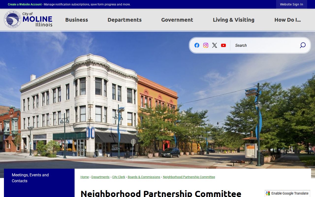
The Moline Neighborhood Partnership Committee is the verified city umbrella for resident neighborhood groups. City planning and history materials name Moline Centre, Floreciente, Edgewater, Overlook, Stewartville, Greater Tartan Oaks, and Forest Hill. Treat those names as geographic leads. Research did not locate a current official roster of association officers, member homes, or street-by-street contacts.
Neighborhood Partnership
Use the committee page and public map to ask which civic group currently covers a block and when it meets.
Moline Public Library
Library maps, local history, newspapers, and directories can explain an older neighborhood name or block identity.
RICHS Research Library
Directories, plat maps, oral histories, newspapers, photos, and manuscripts add county and neighborhood history.
The city's Neighborhood Partnership page shows the public route for civic contact and neighborhood support.
Moline Neighbor Blocks Are Not Rosters
The Illinois voter tool confirms one person's registration or polling information only after first name, last name, birth date, ZIP, street number, and street name are supplied. It is not a block search. Under 10 ILCS 5/1A-25, the full computerized file has limited eligible uses and may redact phone, birth date, street number, Social Security number, and identifiable email.
Likewise, an assessment card does not enumerate a household. Combining adjacent owner fields with voter data would still not prove who lives on the block. Protected voters and Address Confidentiality Program participants require added care. Never attempt to reveal an underlying address by matching a substitute address to parcel or community data.
Note: Illinois does not register voters by political party in the ordinary registration record, and ballot choices are not public lookup fields.
Historic Moline Neighbors
For a past block, Sanborn fire-insurance maps are stronger than a current parcel card. Moline sets exist for 1886, 1892, 1898, 1906, 1912, and 1931. Their sheets can show house numbers, lot and block context, building footprints, materials, and uses. Pair the right year with a city directory address section and census record.
Moline's early commercial district sat near the Mississippi River and railroad tracks around 3rd Avenue between 15th and 18th Streets. Business activity shifted toward 5th Avenue in the 1910s. An old building neighbor may therefore appear under a factory, hotel, store, church, or former street label. Preserve the map year and historic use instead of applying today's storefront or neighborhood name backward.
The Moline Public Library and Rock Island County Historical Society provide directories, newspapers, maps, plats, photos, yearbooks, family histories, and staff research. Private club, congregation, and block-watch rosters were not found as public sources, so ask for collection-level finding aids rather than personal lists.
Official Moline Neighbor Records
Commercial neighbor tools blend public filings, directory material, and purchased data. They may merge names, retain old addresses, or hide their source date. Official systems are narrower but make the custodian, record type, and correction path visible.
| Source type | Strength | Key limit |
|---|---|---|
| County and city maps | Dated parcel and public geography | No private household list |
| Assessment records | PIN, site address, listed owner, tax year | Owner or recipient may live elsewhere |
| Historical repositories | Past buildings, names, and block context | Year gaps and OCR errors |
| Commercial compilation | May combine many sources | Source, date, and accuracy can be unclear |
Correct a map, parcel, or voter error with the office that keeps that record. Keep the PIN, access date, and exact field in question. Removing a commercial profile does not change a county record.
Protect Your Moline Neighbors
Utility customer names, delivery data, private membership records, protected addresses, and unlisted household members fall outside a lawful block workflow. A parcel boundary can hold multiple units, and no public map proves which person occupies one. Limit the worksheet to map date, layer, PIN, site address, legal description, nearby PINs, ward or precinct, ZIP alias, zoning, and source URL.
Illinois stalking law prohibits a knowing course of conduct that causes reasonable fear or emotional distress. Public access does not permit surveillance, threats, repeated unwanted contact, or publishing a private address. If a block search raises a safety issue, use the proper emergency or public agency channel rather than building a personal dossier.
Lawful use. Moline neighbor records support civic, historical, anti-fraud, and personal research. Never use them to watch, harass, threaten, or intimidate another person.