
Moline ZIP Labels in Context
Postal and government sources associate several labels with Moline, but they do not all describe residential areas inside one municipal line. The main Moline delivery label is 61265. The 61266 label appears in PO Box or unique-point contexts, and 61240 creates a Coal Valley/Moline label trap. Nearby Rock Island, East Moline, and Milan ZIPs also surface in cross-city records. Verify each street address with USPS.
| Postal code | Located association | Office or label | Research caution |
|---|---|---|---|
| 61265 | Main standard Moline delivery label | Moline Post Office, 514 17th Street | Delivery geography does not equal city, ward, township, or parcel limits |
| 61266 | Moline-associated PO Box or unique-point context | Moline label in postal materials | Do not treat it as a second residential neighborhood without an address result |
| 61240 | Moline association in an Illinois service list | Often creates Coal Valley/Moline confusion | The state list is not proof that an address is within Moline |
| 61201, 61244, 61264 | Nearby Rock Island, East Moline, and Milan labels | Neighboring postal areas | A nearby code may indicate another municipality or county pocket |
The safe phrase is “ZIP labels associated with Moline in postal or service sources.” Boundaries must be checked address by address. No official local ZIP split or realignment year was located, so the Moline ZIP code directory does not invent one.
Verify a Moline ZIP+4
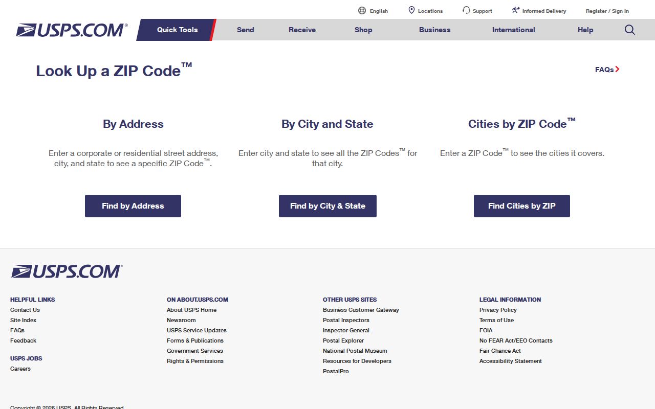
USPS ZIP Code Lookup is the address-specific authority for the delivery result. Enter a complete street address, then preserve the standardized street form, postal city, five-digit code, and ZIP+4. When the tool returns no match, test valid directional or street-suffix forms and confirm the address with Moline's address-assignment staff or GIS desk. Do not substitute the nearest ZIP.
The successful capture below shows the official lookup starting point. It checks postal routing, not ownership or residency.
Carry that verified result into county and city records as one field among several.
| USPS field | Input type | Needed | Use in a Moline search |
|---|---|---|---|
| Street address | Text | Yes for address lookup | Use the full number, directional, street name, and suffix |
| City | Text | Part of the address | Compare the returned postal city with the entered label |
| State | Selector or text | Yes | Select Illinois |
| ZIP Code | Five digits | Depends on search mode | Use a known code to find a city or test a location |
Moline's Grid Narrows Addresses
Moline uses numbered north–south streets and east–west avenues. Street numbers rise from west to east, while avenue numbers rise from north to south. Address ranges are grouped by hundreds per block. Even numbers fall on the east side of streets and south side of avenues; odd numbers fall on the west and north sides.
That grid helps catch a bad digit before a ZIP search. City code §28-5108 describes blocks in 20-foot parcels and derives the hundred number from the street on the west or avenue on the north. Yet the grid is not a postal boundary. County E911 address points, city address assignments, and USPS delivery labels answer separate questions.
Search Moline Records by ZIP
Official local portals do not publish one ZIP-wide roster of residents. The Illinois voter lookup requires a five-digit ZIP as one part of a person match, along with first name, last name, birth date, street number, and street name. It verifies a known voter; it does not return everyone in that area. DEVNET exposes city and street criteria on its parcel form, but no visible ZIP field was found there. GIS street data carries left and right ZIP aliases, which support mapping rather than a resident list.
- Verify the exact address and ZIP+4 through USPS. Save the returned postal city rather than forcing “Moline.”
- Search Rock Island County Assessment Search by situs street or owner. Preserve the PIN, situs city, owner mailing address, and legal description as separate fields.
- Use city or county GIS to compare the address point with the municipal, township, ward, precinct, and parcel layers. A map click can expose adjacent geography without naming occupants.
- For a known person, use the Illinois voter lookup with all required identity fields. Do not try to turn the result into an area roster.
- Once the area narrows to a road, continue with the Moline by-street records workflow for parcel and deed research.
A ZIP code directory is a sorting aid. Ownership, voter status, and current residence remain distinct claims, each governed by its own source.
Moline ZIP and Parcel Fields
The most common local mistake is to merge four different address fields. A DEVNET parcel card separates the physical site from the tax-bill mailing address. The deed or plat uses a legal description. USPS assigns a delivery code. One parcel may show different cities or codes across those fields without any record being wrong.
| Situs address | The parcel's physical location in the assessment record |
|---|---|
| Mailing address | Where tax correspondence goes; it may belong to an owner, organization, or agent elsewhere |
| Legal description | The lot, block, subdivision, tract, or other land description used in deeds and plats |
| Postal address | The standardized delivery form, postal city, ZIP, and ZIP+4 returned by USPS |
Keep all four in a worksheet. A mismatched mailing code is a clue about tax delivery, not proof that the owner lives outside Moline.
Moline ZIPs Are Not ZCTAs
A Census ZIP Code Tabulation Area, or ZCTA, is a generalized statistical shape. It is designed for reporting population data, not routing mail. USPS ZIPs are delivery constructs that can change without following city or parcel lines. Use a ZCTA for broad statistics only, never to assign a resident or parcel to a delivery code.
This distinction matters near Moline's borders and named areas. Census geography, a neighborhood label, a school district, a ward, and a postal code can overlap without sharing the same edge. The exact street address must control a postal claim.
Find Moline Postal Services
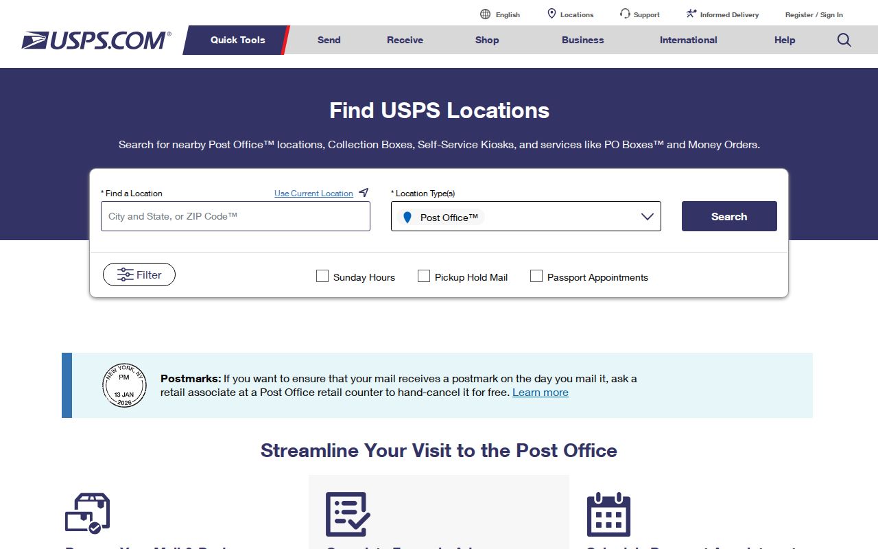
USPS Location Search accepts City/State or ZIP, and it can narrow by Post Office, national retailer, collection box, self-service kiosk, or gopost. It also includes street-address, city or ZIP, and state fields. Use it to find a service point after confirming the address, not to infer who lives nearby.
The manifest image below documents the official location search. The filter choices help separate a full Post Office from a retail partner or collection box.
Call or recheck USPS for current retail hours and services before making a trip.
Moline ZIPs Versus City Limits
A Moline postal label does not establish Moline municipal residence. An address can fall in Moline Township, South Moline Township, another district, or a nearby postal city while still appearing in a search tied to Moline. The 61240 association is the clearest warning: an Illinois list links it with Moline, but that list does not place every 61240 address within the city. USPS, city GIS, county GIS, and the parcel jurisdiction field must be compared.
- ZIP and ZIP+4
- The five-digit code names a delivery area; the added four digits narrow routing for an address or delivery segment.
- PO Box ZIP
- A code used for post-office boxes rather than a mapped residential neighborhood.
- Unique ZIP
- A code assigned to a high-volume recipient or special delivery point, not a normal neighborhood boundary.
- Carrier route
- A postal delivery path. It may cross other civic or statistical boundaries.
Bridge Old Moline ZIP Gaps
ZIP codes cannot solve a pre-ZIP address. No official local split, realignment, or street-renumbering year was located. For an old entry, preserve the address as printed and compare its directory year, Sanborn sheet and house number, Recorder legal description, subdivision plat, and modern GIS parcel. City address-assignment staff can help when a historic number does not fit the current grid.
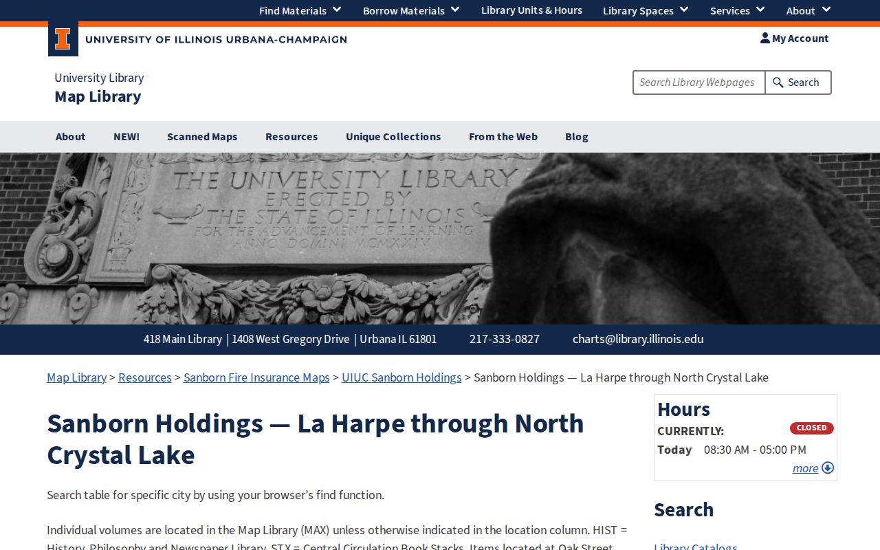
Moline Sanborn holdings include 1886, 1892, 1898, 1906, 1912, 1920, and 1931 sets, with later microfilm years also noted. The maps show blocks, footprints, construction, and uses, not residents. Their chief value is proving that an old building and number occupy the same place later assigned a modern address.
UIUC's Moline Sanborn holdings list gives the verified year and sheet counts.
Use the map year as a bridge between an old directory address and a later postal form.